
 PA Media
The UK is facing freezing temperatures for one more day, before temperatures soar to highs of 14C (57.2F) on Monday.
The cold snap – which has caused travel disruption and power cuts – is ending on Sunday evening.
Warnings for snow, ice and rain are in place for much of the country on Sunday – including an amber alert for ice in parts of northern England.
Temperatures are expected to jump by 15 degrees within 24 hours as a result of warmer air coming from the Atlantic.
BBC Weather said Sunday marked a “transition day from the bitterly cold, frosty weather to something much milder, wetter and windier”.
Forecaster Jennifer Bartram said: “The big swing in temperatures will be noticeable on Monday, and though it is unusual to see such a dramatic change, it’s not unheard of.
“The change is all linked to where our air is coming from: we’re replacing bitterly cold Arctic air with something much milder from the Atlantic,” she added.
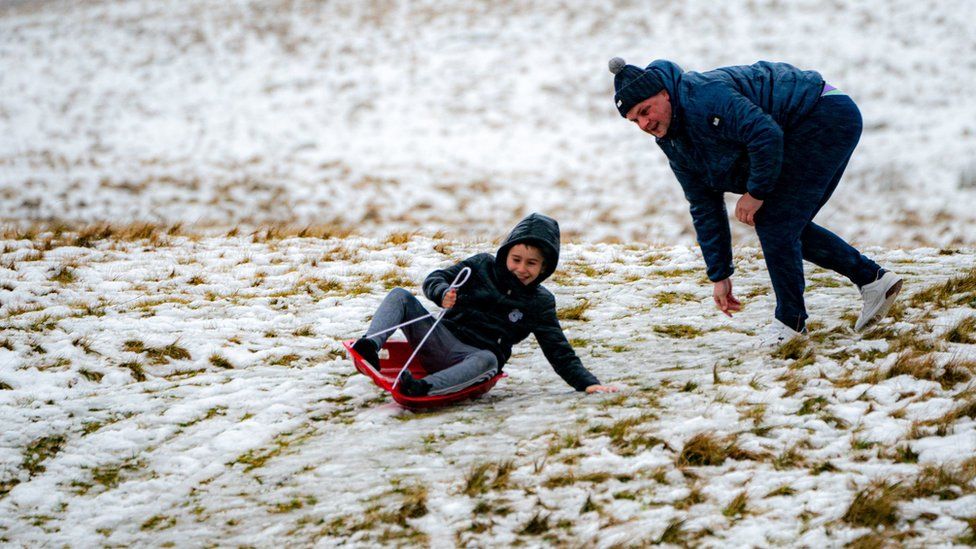
Sunday could see between 2 and 3mm of ice on untreated surfaces as snow and ice is expected to continue across parts of the UK.
Police forces across England have put out urgent pleas after receiving many calls about people on frozen water. Last week, four boys aged six, eight, 10 and 11 died after plunging into icy waters in Solihull.
- People on frozen water prompts urgent warning
Both night time and daytime temperatures are expected to increase over the next couple of days – with maximum daytime temperatures across the UK ranging from 11C to 14C, according to the Met Office’s Marco Petagna.
Mr Petagna said temperatures in the low teens were not uncommon at this time of year, but the contrast of conditions going from very cold to very mild in a day or two is quite unusual.
He said a leap of “15 degrees or more” was expected in some snow-covered areas on Monday, he said.
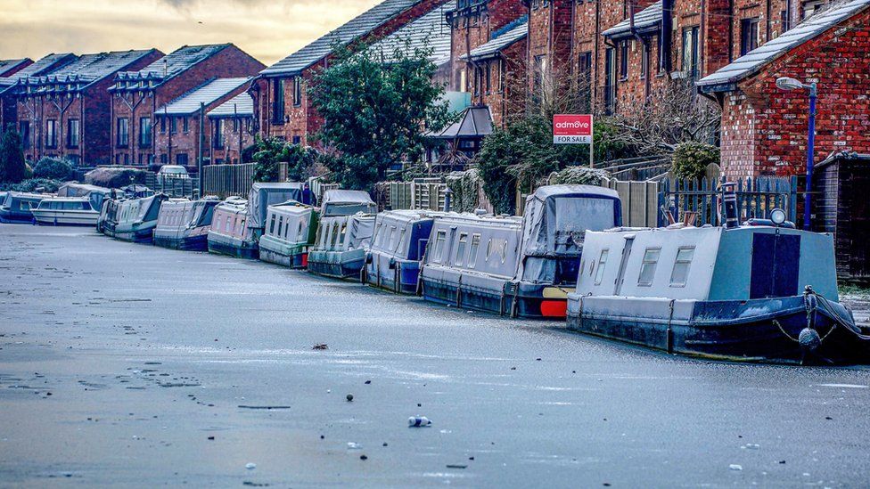
The jump in temperatures could cause difficulties, with Scottish Water reporting it had seen a rise of up to 150% in burst pipes in recent days as sub zero temperatures tuned to a rapid thaw.
This led to an extra 100 million litres of water a day passing through the pipes.
The Met Office’s weather warnings include yellow alerts on Sunday for:
- Snow and ice across Scotland and northern England until 21:00
- Icy conditions until 14:00 across Wales and much of England
- Heavy and persistent rain across the south west of England and southern Wales from 18:00 until 06:00 on Tuesday
An amber warning for ice is also in place for north east and north west England, East Midlands, West Midlands and Yorkshire and Humber until 20:00.
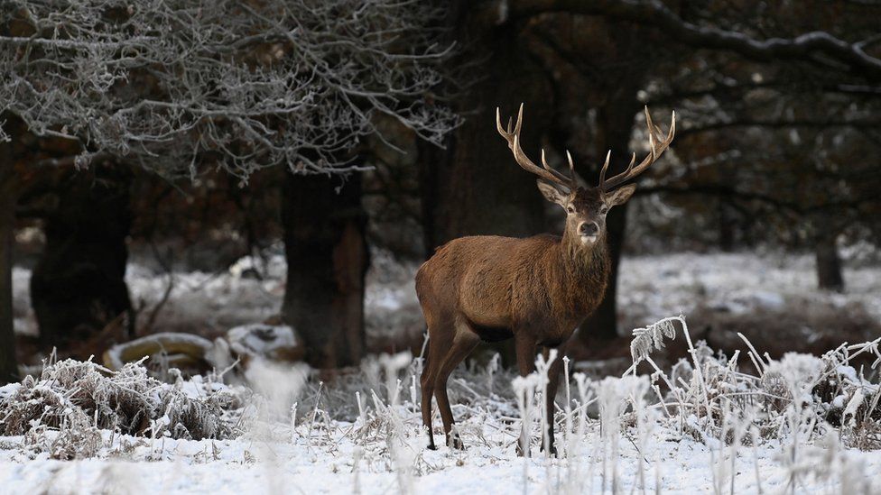
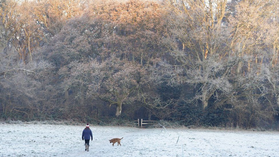
In the last week, the country has been experiencing a severe cold snap with overnight temperatures dropping to lows of -10C to -15C.
Braemar in Scotland dropped to as low as -17.3C on Tuesday – the coldest temperature since February 2021.
The UK Health Security Agency had earlier issued a level three cold weather alert for all of England until midnight on Sunday which it warned could “increase the health risks to vulnerable patients and disrupt the delivery of services”.
- Rare ‘hair ice’ spotted in Scotland
The severe conditions in recent days has led to serious damage and disruption.
In Shetland, heavy snowstorms cut off 2,800 properties from power at the start of the week. Scottish and Southern Electricity Networks said it was confident the remaining 118 homes waiting for power would be reconnected by Sunday afternoon.
In Wales, the ambulance service said it had been experiencing a rise in callouts, partly caused by the “extreme weather”.

Find out the weather forecast for your area, with an hourly breakdown and a 14-day lookahead, by downloading the BBC Weather app: Apple – Android – Amazon
The BBC Weather app is only available to download in the UK.

-
Warnings of icy conditions before cold snap ends
-
1 day ago
-
-
Rapid thaw leads to huge rise in burst water pipes
-
2 hours ago

-
-
Shetland power ‘should be back’ by Sunday afternoon
-
4 hours ago

-